Large-scale, freely available data for Ghana, Ethiopia, and Zambia
We need appropriate spatial data to understand how agricultural development has been affecting the environment in Ghana, Ethiopia, and Zambia to date. At UCL, we have been looking to large-scale, freely available data sources to see which might be useful for Sentinel project work. By using open-access data, we hope that we can showcase methods that can assist with land-use and conservation decisions that do not depend on pay-for products, as these might not be a justifiable expense for all academics, ministers, and stakeholders. But which datasets can we get for free? And how useful are they?
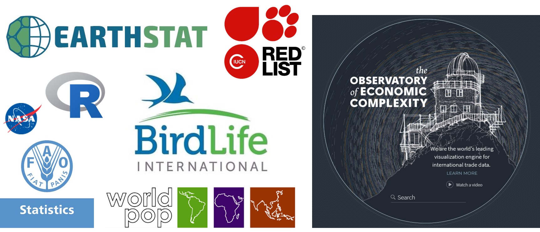
The free data sources we have been using most often for Sentinel project work so far include: EarthStat, FAOStat, the Observatory for Economic Complexity, IUCN, BirdLife, Socioeconomic Data and Applications Center (SEDAC) and WorldPop
We recommend taking a look at these if you would like data on: location-specific crop yield and production values; a country’s imports and exports; species ranges (including those that are threatened); and human land uses, population sizes, and infrastructure.
How useful are these data? The short answer is very – if you’d like a general picture of agriculture and biodiversity in and across a given country. There are some known limitations of using large-scale, freely available data to be aware of, though. For instance, using datasets like these to pinpoint species richness or crop production for a specific site would be risky. The data are usually based on averages or models, which give us a picture of the general trend in a larger area but should not be used to measure exact values at specific co-ordinates.
We will be sharing the findings of the research we’ve been conducting using of these datasets very soon, so watch this space to see what these sorts of data are capable of…