Site selection for Sentinel
The Sentinel project seeks to understand the extent, nature and impacts of agricultural expansion into natural habitats. This analysis of trade-offs between competing land use objectives requires the identification of sites for detailed field surveys to collect data on biodiversity and natural habitats, land use, ecosystem services and the use of resources by local communities.
A method was developed to ensure a systematic identification of two sites in each of the three partner countries: Ghana, Zambia and Ethiopia. To narrow the search to identify potential areas of interest the following criteria were input into a land suitability model:
- Access: easy to access from the road network/settlements;
- Located within contrasting agroecological zones;
- Close to areas of recent agricultural expansion and protected areas
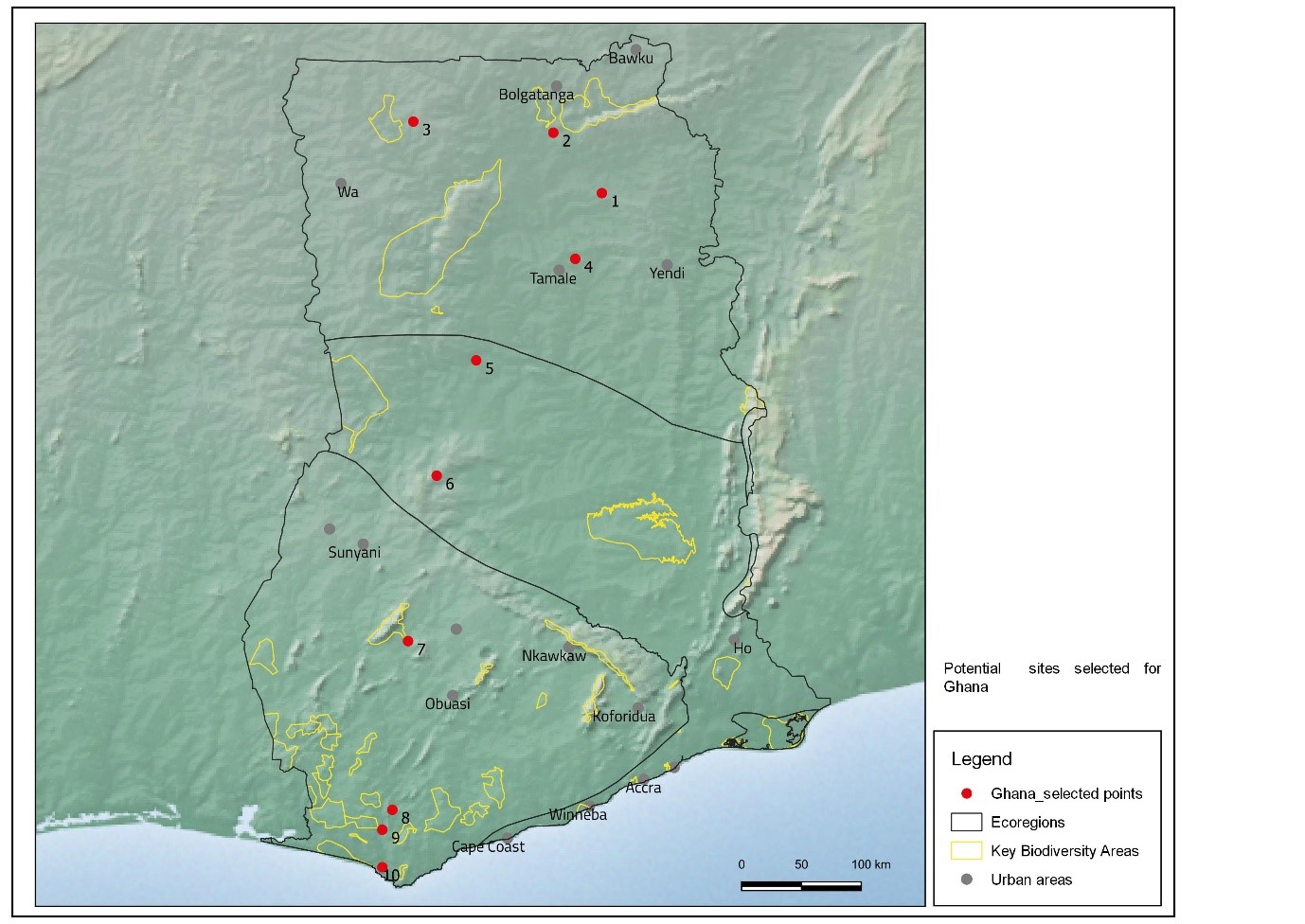
This was followed by a consultation with in-country partners using local knowledge to check that the selected sites were suitable. The map above shows 10 potential sites across Ghana of which 6 will be visited. These will be reduced to two sites for the important field survey phase of the project.